New Wildlife Conservation Area on the French Broad River
Update: Plan your visit to King’s Bridge, now with a completed natural floodplain restoration.
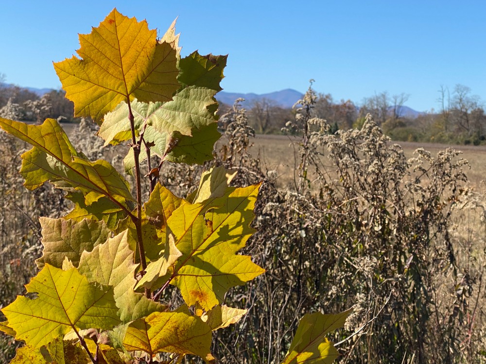
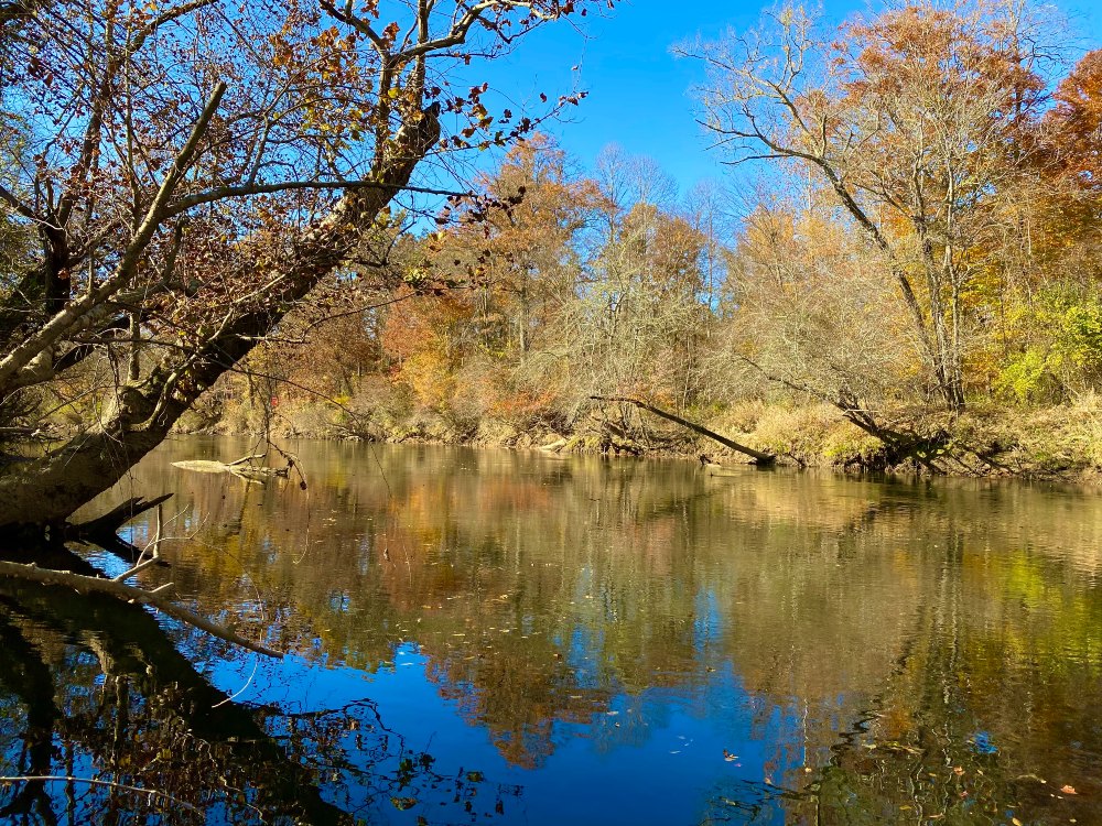
There’s a new piece of public land on the French Broad River, in Mills River. It’s 87 acres off of NC Highway 191, where tree-rimmed meadows stretch along the river’s edge. On a sunny day this fall, hawks were soaring overhead and you could see deer at the edge of the fields. Everywhere, grasshoppers were buzzing on spread wings among the tall grass. And beyond the level fields there was a panoramic view of the Blue Ridge Mountains, including Mt. Pisgah.
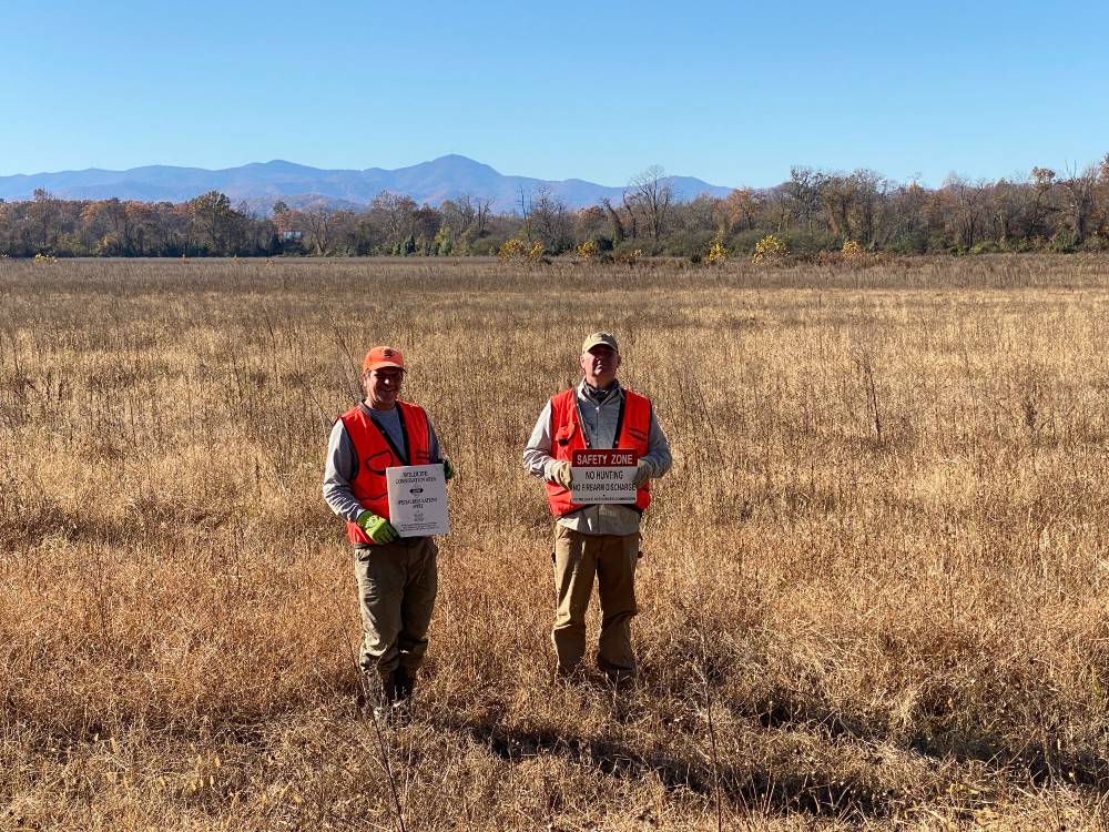
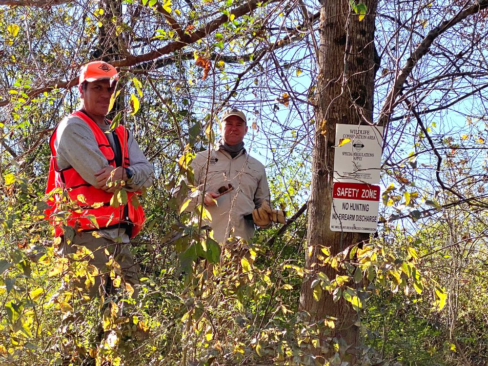
This is the King’s Bridge Wildlife Conservation Area, which the NC Wildlife Resources Commission just opened to the public for fishing, birding, and other wildlife observation. (However, hunting is not allowed at this location.) While you’re likely to see some wildlife on your visit, you’re also seeing the “before” image of a planned transformation.
The Starting Point
The site has nearly two thirds of a mile of frontage on the French Broad River and the state agency is planning a natural floodplain restoration there. It will be similar to other restorations in the works in Mills River and Etowah on land owned by Conserving Carolina. Conserving Carolina purchased King’s Bridge from Super-Sod in December of 2020 and transferred it to the Wildlife Commission in the summer of 2021.
Nick Shaver, the Mountain Region Supervisor of the WRC’s Land and Water Access Division, says, “This parcel is a new and unique opportunity for our agency to take what is virtually a blank slate and create some high-quality wildlife habitat that will benefit both terrestrial and aquatic species.”
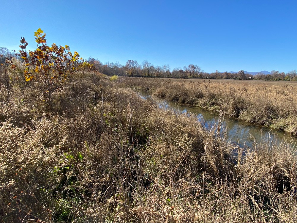
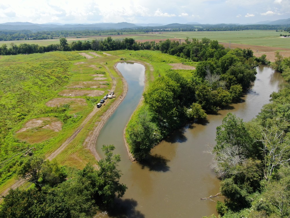
Until recently, this land was a sod farm and, like much of the floodplain along the French Broad River, the land has been drained to support agriculture. A wide straight drainage ditch cuts across the fields to move water off the fields and into the river.
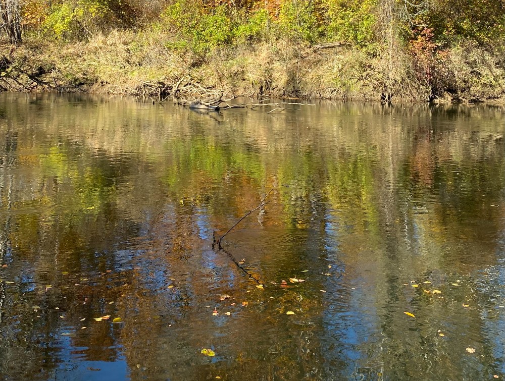
Scott Loftis, an aquatic biologist with the Wildlife Commission, explains that in a natural floodplain, there wouldn’t be this kind of separation between land and water. Naturally, the river would be able to flow over and into the land. It would spread out into sloughs and wetlands. During high water, it would fill more of the floodplain. Then, the receding water would leave behind pools and ponds. This merger of water and land would be full of life—a place where ducks rest on still water, swallows swoop to catch insects, and salamanders raise their broods.
But you rarely see that anywhere along the upper French Broad River because, all along its length, miles of straight-line floodplain ditches and berms elevated along the river bank try to keep water off of the land.
Related: Scott Loftis talks about the vision for muskie restoration at the Mouth of Mud Creek.
Public Access, Muskie Slough, and a Holistic Vision
The planned restoration will return the floodplain to a more natural state, with wet areas that bring back the natural flow of water between the land and the river. The restoration will bring back habitat for wildlife, improve water quality, reduce downstream flooding, and create a place for people to connect with nature in a growing part of Henderson County.
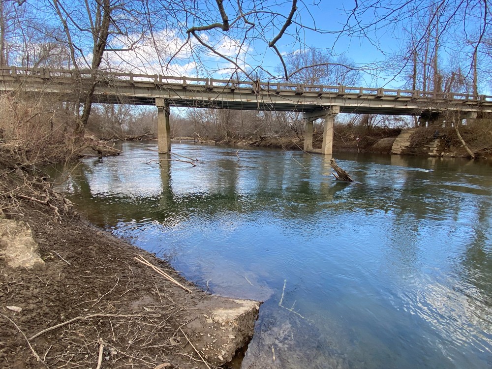
Currently, there is a small parking area on the east side of NC Highway 191, located just south of the bridge for which the property is named. However, there are no trails or other infrastructure on the property. Future plans for the property include a public boat put-in, which will move forward after the planned widening of the road.
Plans for the floodplain restoration include a backwater slough, where fish and other aquatic life can rest and spawn, outside of the strong river currents. The land will also be graded to bring back a wide, low basin that can fill with water during flood events. Restored wetlands will support many kinds of wildlife, including salamanders, turtles, birds, and mammals.
Backwater sloughs are considered essential for the recovery of muskellunge, or muskie—the largest fish in the French Broad River, which can grow more than four feet in length.
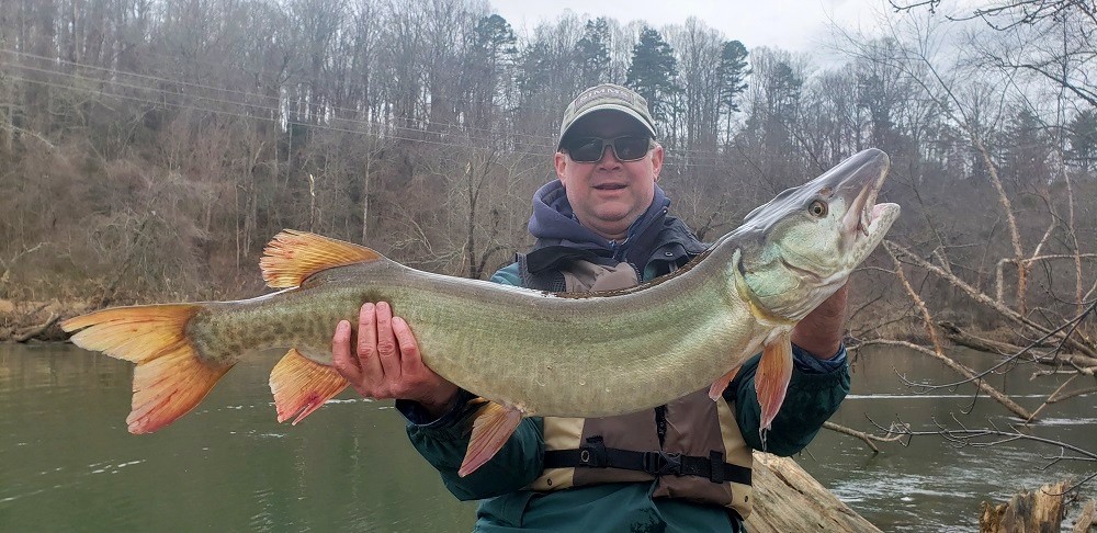
“Muskie garner much attention as an apex predator and formidable sportfish,” Loftis says, “but there’s a whole host of nongame fishes in the river from redhorse to minnows that also will benefit from this floodplain restoration. This a holistic project. It’s bigger than one species, one plant, one butterfly, one cause. There’s a grander vision of restoring ecosystem services.”
Kendrick Weeks, Regional Supervisor of the agency’s Division of Wildlife Management Wildlife Diversity Program says, “That diversity of habitat from wetlands to floodplain forests will provide habitat for a whole array of wildlife, including waterfowl, shorebirds, wading birds, forest birds, and reptiles and amphibians. It will also include some early successional habitat which will support pollinators and the wildlife resources that feed on them.”
Weeks points out that the site offers another key benefit for land animals like deer—safe passage. There are two bridges on NC Highway 191 beside the property, which allow animals to follow waterways beneath the busy road.
The restored floodplain will also filter stormwater runoff before it reaches the river. Loftis says, “It’s a habitat restoration effort but also a water quality improvement effort.”
In addition, the project will restore the floodplain’s natural function of absorbing flood water—a role that is especially important with climate change leading to more intense rain events. Natural floodplains can soak up water like sponges. With less water rushing down the river, landowners downstream will see less flooding and bank erosion, resulting in less sediment pollution in the river.
A Chain of Restorations Along the French Broad
Kings Bridge is one in a chain of natural floodplain restorations in this stretch of the French Broad, including two properties owned by Conserving Carolina. King’s Bridge is located just two miles upstream of the Mouth of Mud Creek restoration and 12 miles downstream from the Pleasant Grove restoration.
Conserving Carolina worked with the Wildlife Commission, the U.S. Fish and Wildlife Service, and other partners to complete the Mouth of Mud Creek restoration in 2020. The land trust is now in the early stages of a floodplain restoration at Pleasant Grove. Similar to Kings Bridge, both of these restorations feature muskie sloughs, wetlands, and a mosaic of habitat types from woodlands to meadows.
David Lee, Conserving Carolina’s Natural Resources Manager, says “On their own, any one of these projects provides essential benefits to the surrounding community, but together the benefits are compounded and more far-reaching. Together, the floodplain conservation and restoration projects along the French Broad River will significantly improve water quality, provide critical habitat for important aquatic and terrestrial species, and contribute to the overall resiliency of the river corridor.”
Related: Learn more about restoration projects along the French Broad River.
Loftis says, “We wanted to link as many of these floodplain parcels together as possible. This is one more key acquisition in conserving a green thread of riparian corridor along the river and restoring that natural function.”
It took many partners to create the new King’s Bridge Wildlife Conservation Area. Conserving Carolina purchased the land with funding from the National Fish and Wildlife Foundation, the U.S. Fish and Wildlife Service, and philanthropists Fred and Alice Stanback. Private lenders also played a key role, providing loans to Conserving Carolina until permanent funding was secured. These private investors include Mary Fanslow, Randy Hall and Annie Keck-Hall, Tom and Susan McHugh, Fred and Lauren Weed, and Dale Weiler and Loti Woods.
Ben Copeland, Jr., the CEO of Super-Sod, which sold the land to Conserving Carolina, says, “This project was a great opportunity to further our company’s culture and commitment to conservation and sustainability. This is our fourth project with Conserving Carolina, among many others we have been involved with in three states.”
Lee, with Conserving Carolina, says, “These restoration projects show how connected we all are. As it turns out, people need many of the same things that birds and fish and other wildlife do. We all need a clean, healthy river and we all depend on the ecological processes that nature provides.”
How to Get to King’s Bridge Wildlife Conservation Area
If you want to check out King’s Bridge, here’s the GPS coordinates: 35.371093, -82.531256. And here’s what that looks like on Google Maps. It’s south of Mills River on NC Highway 191. Look for a small parking area on the east side of NC Highway 191, just south of two back-to-back bridges (including the one known as King’s Bridge). You’ll see Wildlife Commission signage when you get there. Enjoy your visit!