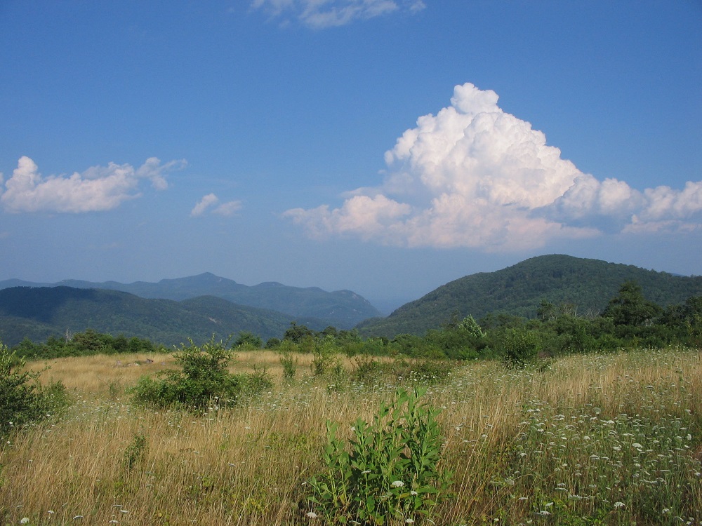
Vision for a 100+ Mile Trail Network
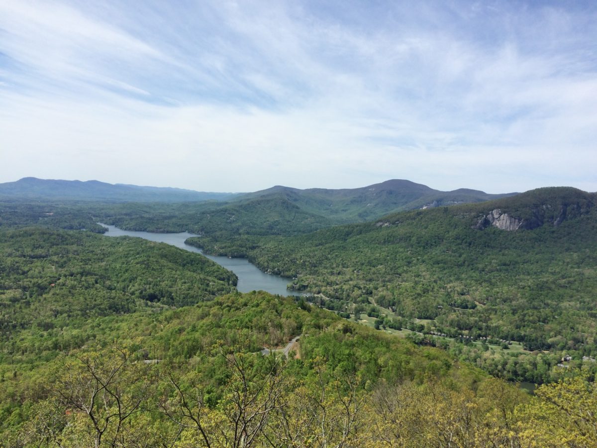
Imagine a loop trail that links Bearwallow Mountain with Blue Ridge Pastures and Florence Nature Preserve. Imagine another loop trail that goes all the way around Lake Lure, with dramatic stops at Youngs Mountain, Eagle Rock and World’s Edge. Getting excited? We are—especially now that we’ve come this far toward our vision of a 100+ mile network of connected trails in the Hickory Nut Gorge. So far, more than 38 miles of trails are open and more are underway. In 2017, the NC General Assembly officially designated this emerging trail network as the Hickory Nut Gorge State Trail.
An article in the Asheville Citizen-Times says this trail systems is “expected to be a state treasure to rival the Mountains-to-Sea Trail.”
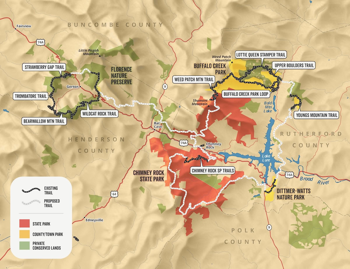
Hickory Nut Gorge State Trail Map
This map shows how the trail network is coming together. Completed trails are shown in black while trails in progress are shown in orange. The red lines show possible routes for new trails that would connect this exciting new long trail.
Please note that trails in progress are not open to the public. Prospective trails are shown for conceptual planning purposed only.
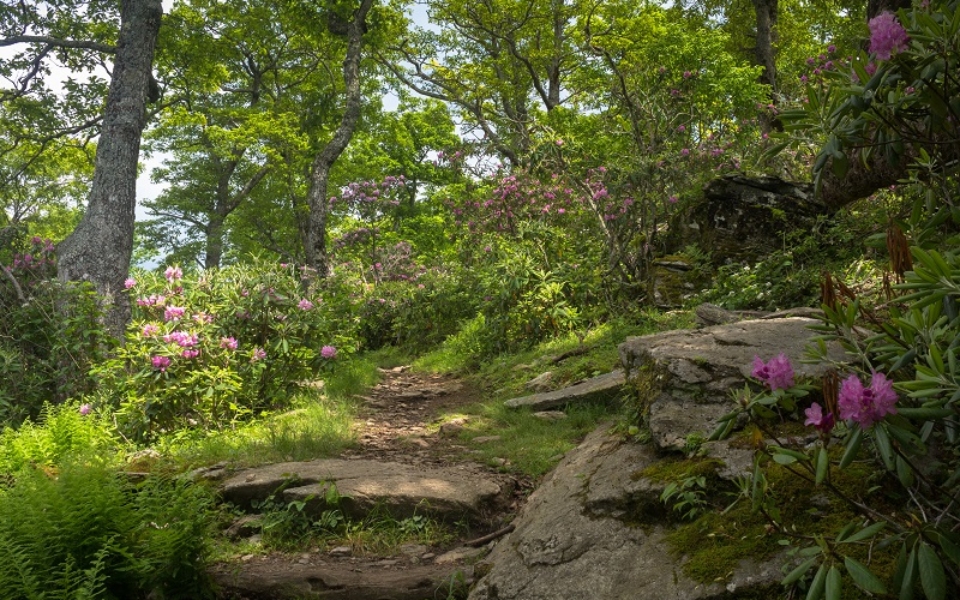
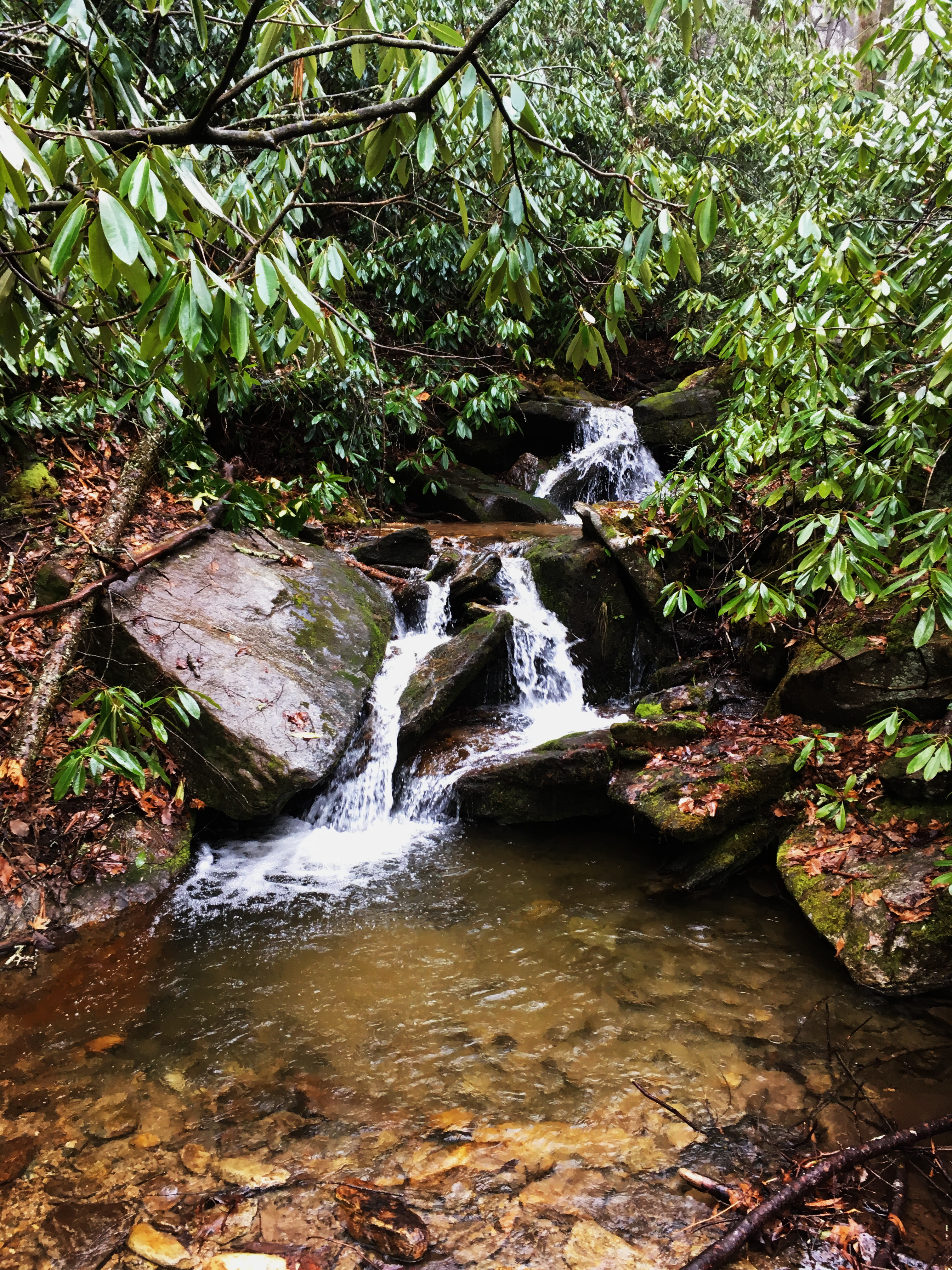
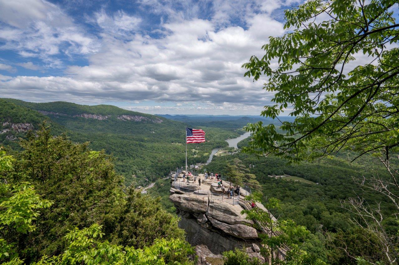
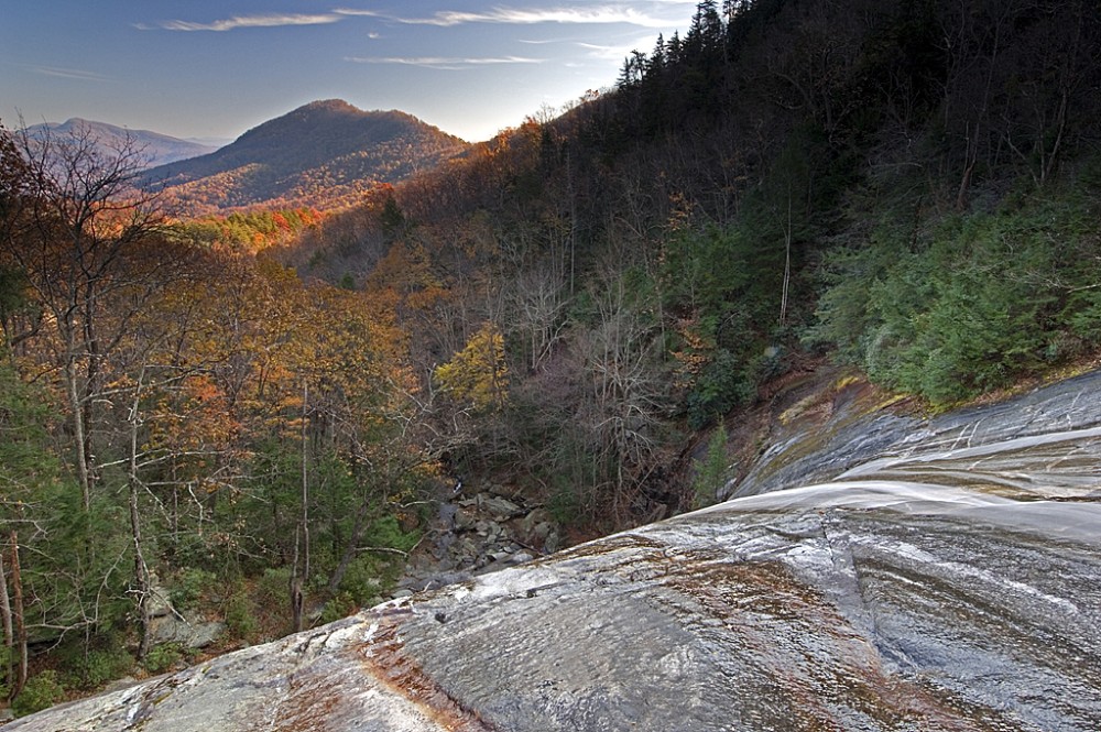
Trails You Can Hike in the Hickory Nut Gorge
Currently, more than 38 miles of trails have opened to the public, with more trail projects in the works. Conserving Carolina trails in the Hickory Nut Gorge State Trail system include:
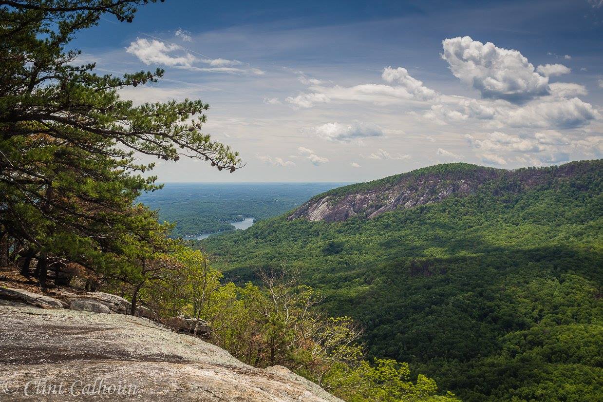
- Bearwallow Mountain Trail
- Wildcat Rock Trail
- Florence Nature Preserve
- Trombatore Trail
- Strawberry Gap Trail
- Weed Patch Mountain Trail
- Youngs Mountain Trail


Help Make It Happen
With the support of our members, Conserving Carolina has helped create some of our region’s most beloved public lands. Now, we’re asking you to help us create the 100+ mile Hickory Nut Gorge State Trail. Thank you for helping to protect great places to get outside!
DONATE