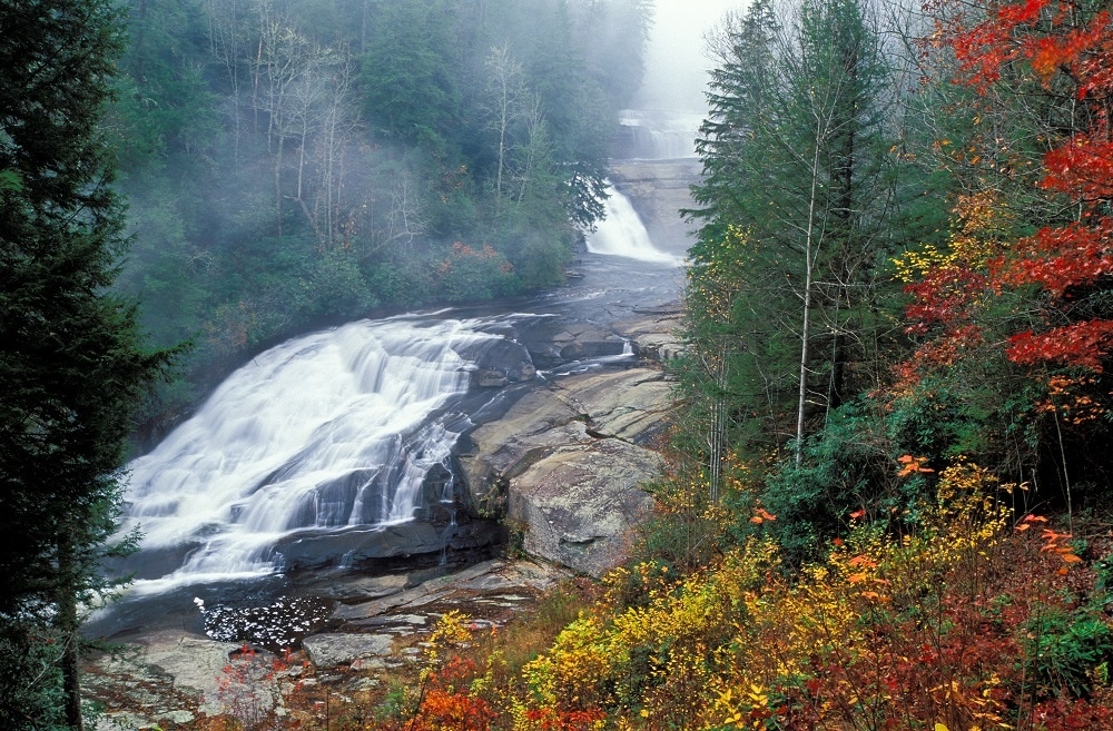
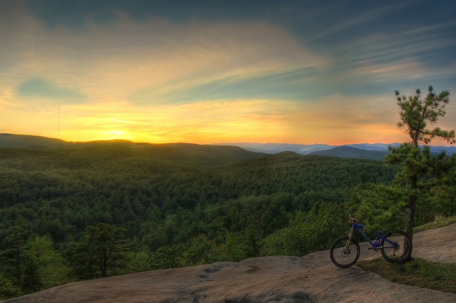
You may know DuPont State Recreational Forest as a place to enjoy spectacular waterfalls. Or you might like exploring trails in the quieter stretches of the woods. It could be the place you bring your family to splash in the river on a hot summer day. Or, it might be one of your favorite places to ride horses or go mountain biking.
But it could have easily been a different story. In fact, at points, it seemed far more likely that the forest would be developed as a gated community—a private neighborhood, not a public forest.
A New Land Trust Gets Its Start
In 1995, the land trust that became Conserving Carolina was barely a year old. The group, which was called the Natural Heritage Trust of Henderson County before taking on the name Carolina Mountain Land Conservancy, had a board but no staff. They had never done a conservation project. But, they were organized and ready when a big opportunity came their way.
The DuPont Corporation had owned a vast tract in Transylvania and Henderson Counties since the 1950s. They acquired over 10,000 acres to provide clean air and clean water for their facilities, manufacturing silicon and later X-ray film. The land also provided a sweet perk for their employees—a large expanse of private parkland.
One employee who particularly loved the trails and scenery around his workplace was Jeff Jennings, an engineer who also served as president of the grassroots Environmental Conservation Organization (now part of MountainTrue).
“One day I came to work, and they announced that the plant was for sale and that they were separating 7,600 acres of land away from the factory,” Jennings told Conserving Carolina for an article in 2015. “It was assumed that private developers would purchase the property. It was imminently developable, and the real estate market was doing well at that time.”
Jennings quickly brought news that the land was for sale to the new land conservancy, then headed by Chuck McGrady (who has since gone on to become a NC State Representative). The group was immediately interested.
But it was unclear how a fledgling land trust would take on such an ambitious project. They brought in The Conservation Fund as partners, and the project came together quickly. “The stars aligned,” McGrady said.
The DuPont Corporation agreed to sell a horseshoe-shaped tract of 7,600 acres at a generous bargain-sale price. The Conservation Fund held the property until the state of North Carolina was able to purchase it, using funds from the N.C. Natural Heritage Trust Fund. The state bought the land in 1996 and 1997 for just $2.2 million, less than $300 per acre.
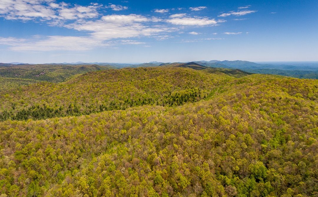
These 7,600 acres—roughly three quarters of DuPont’s vast holdings—included Hooker Falls, Wintergreen Falls, and the forest’s high point, on the summit of Stone Mountain.
McGrady said of Conserving Carolina’s role in saving DuPont, “It gave people a vision and made people feel like we could accomplish something. The Conservation Fund worked the deal and found the funding. But Conserving Carolina was the local entity that assembled the partners. It was really the first time that the land trust was involved in something big. It was a great precursor to the work to come.”
(Note: in 2017, Carolina Mountain Land Conservancy merged with the Pacolet Area Conservancy, taking the name Conserving Carolina.)
Fight for The Waterfalls
The largest portion of the DuPont Forest may have been the easiest to conserve. The second phase of conservation, including three of its most famous waterfalls—Bridal Veil Falls, High Falls, and Triple Falls— demanded a much harder fight.
The 2,700 acres that once surrounded DuPont’s industrial plant was acquired by the Waterfalls Investment Group. In 1999, that group put the land, at the center of the state forest, up for sale. Conservationists were eager to bid, but the seller insisted on a secretive bidding process and appeared to give preferential treatment to a developer called Cliffs Communities. When it was announced that Cliffs Communities had made the top bid, The Conservation Fund attempted to match their price and purchase the land on behalf of the state. But the seller rebuffed their offer.
At first, it appeared that, at least, the land could not be heavily developed. The deed included some vague restrictions on residential housing—leading to a low selling price—but those restrictions turned out to be unenforceable. The developer soon announced plans for a large, high-end development.
There was intense public outcry over the future of the forest. Local residents including Jeff Jennings, Doug Coggins, Ken Shelton, and Aleen Steinberg quickly formed the group Friends of the Falls, calling for the area around the falls to be protected and accessible to the public. Thousands of citizens rallied to protect the forest. Steinberg told the MountainX in 2018, “Republicans, Democrats, mountain bikers, equestrians, hikers and conservationists all joined hands in their beliefs.”
Governor Jim Hunt received thousands of messages calling for the land to be conserved. In 2000, the state used its powers of eminent domain to buy the land from the developer and add it to the state forest. Through a hard-fought battle, the heart of DuPont Forest became public land.
DuPont Forest Continues to Grow
For land that that was extensively logged, that was once the site of an industrial plant, and that was nearly developed more than once, DuPont Forest offers an encouraging story of a natural legacy reclaimed for future generations.
The public’s embrace of this marvelous natural landscape has encouraged further conservation, bringing the state forest to its current size of nearly 12,500 acres. Through many projects over the years, Conserving Carolina and our partners have added significant acreage to this treasured public land, as well as adjoining private land.
Private Conservation Land
Thousands of acres of land around the forest remain in private ownership, while protected forever by conservation easements. One prominent example is the Green River Preserve, a 2,600-acre summer camp that borders the state forest to the east, which Conserving Carolina helped to protect in 2006. Altogether, Conserving Carolina has helped protect nearly 3,500 acres of private land adjacent to DuPont. By buffering the state forest, private conservation lands expand wildlife habitat and enhance the wilderness experience for people visiting DuPont Forest.
The Donut Hole
In 2017, the DuPont Corporation donated to the state a 476-acre inholding that was the site of its industrial plant—once a “hole” in the center of the state forest. DuPont is in the process of cleaning up contamination on the site, which is not currently open to the public. Learn more.
Land Near Cascade Lake
In January of 2019, 779 acres near Cascade Lake were added to the forest. This land was donated by the late Charles S. Pickelsimer in his will, to the state via The Conservation Fund. This addition does not include Cascade Lake itself, although The Conservation Fund has expressed interest in working with the family to add this land to the forest. Learn more.
Continental Divide Property
Circling back to our beginnings, Conserving Carolina was thrilled to add a total of 717 acres to the forest in 2019 and 2020. This addition extends the state forest to the Eastern Continental Divide and helps link it to a vast corridor of connected public lands on the North Carolina-South Carolina border that spans over 100,000 acres. There is potential for future trails through this property to link to the 77-mile Foothills Trail system. Learn more.
Thank you for supporting conservation! We hope you enjoy DuPont State Recreational Forest.
Further Resources
- Plan your visit and activities at the official website for DuPont State Recreational Forest.
- Volunteer, learn, and explore with Friends of DuPont State Forest. Also, check out their history page.
- Find hikes and other activities in the RomanticAsheville.com guide to DuPont Forest.