This hike is part of the WPA & Conserving Carolina White Squirrel Hiking Challenge 5, celebrating places Conserving Carolina helped protect. There’s a reason these waterfalls are so famous!
Protecting DuPont’s Treasures
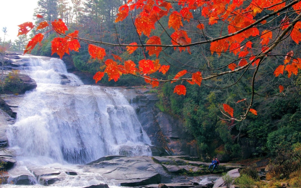
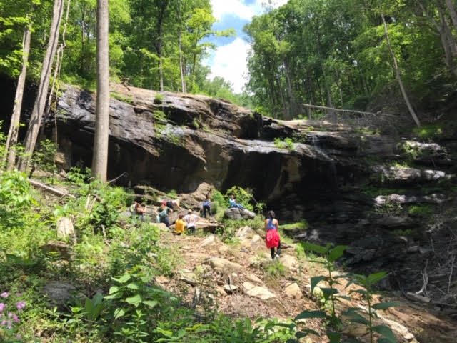
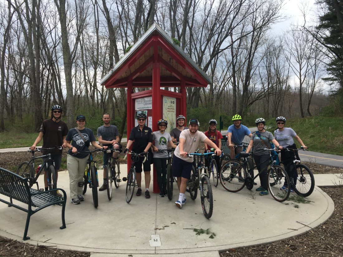
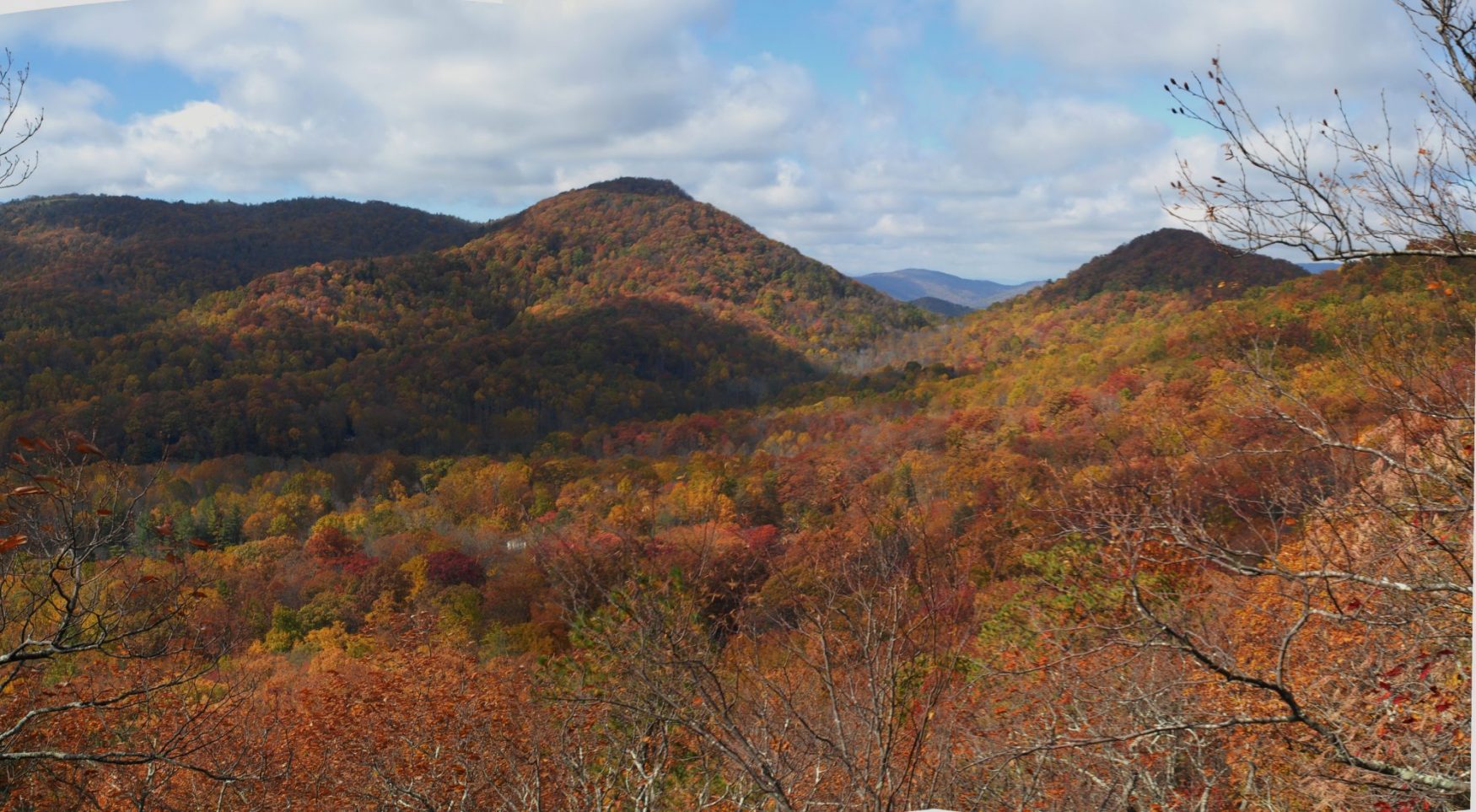
DuPont State Recreational Forest is a nearly 11,000-acre wooded wonderland bursting at its seams with spectacular waterfalls, scenic granite domes and inviting backcountry. An outdoor enthusiast’s paradise, it offers nearly 90 miles of hiking, mountain biking, and equestrian trails to explore its charming beauty. Rolling hills tucked between high mountains peaks host the upper reaches of the Little River and six of western North Carolina’s most stunning waterfalls.
Thanks to its beauty and ample accessibility, DuPont is among the state’s premiere outdoor recreation destinations. Among waterfall enthusiasts, DuPont’s falls consistently rank as the most impressive in all of North Carolina.
DuPont’s story represents a landmark achievement for land conservation in western North Carolina. With Conserving Carolina as the catalyst, the first 7,600 acres of what became DuPont State Recreational Forest was purchased by The Conservation Fund, then by the state of North Carolina, in 1996. DuPont has since grown to more than 12,000 acres.
Over the years, Conserving Carolina has helped make numerous additions to the forest, including the new Continental Divide Tract, once known as the “missing link.” Protected in 2018-10, this property connects DuPont to a conservation corridor that spans more than 100,000 acres along the North Carolina / South Carolina border, with exciting potential for future trail connectivity.
CHALLENGE: Hike to Hooker, Triple, and High Falls
Primary Route: Hooker Falls, Triple Falls, and High Falls Trails from Hooker Falls Parking Area
Hiking Distance: 3.0 miles round-trip; other variations/distances possible
Elevation Gain: ~200 feet
Difficulty: Moderate
Trailhead:
Hooker Falls Parking Area off of Staton Road. Click here to enter your address and receive turn-by- turn directions to the trailhead. GPS users may enter N35.2019, W-82.6193 in their units.
This large two-section parking area is the best jumping off point to access all three waterfalls. Park in the second, further-back, lot that hosts a restroom building to be closer to the start of the trail. These lots fill up on many weekends, so go early or on a weekday to get a spot; no roadside parking is available once the lots are full.
Hiking Directions
From the lot, a trail junction sign marks the beginning of the hiking trails. The Hooker Falls Trail leads right and journeys east for 0.4 miles, paralleling the Little River to reach the base of Hooker Falls. Once there, you may want to stop at the a viewing platform to look over the falls. Then continue downhill about another 100 yards to the base of the falls to view it across a large pool that is popular for swimming. Return to the original trail junction at the parking area to continue your hike to the other waterfalls.
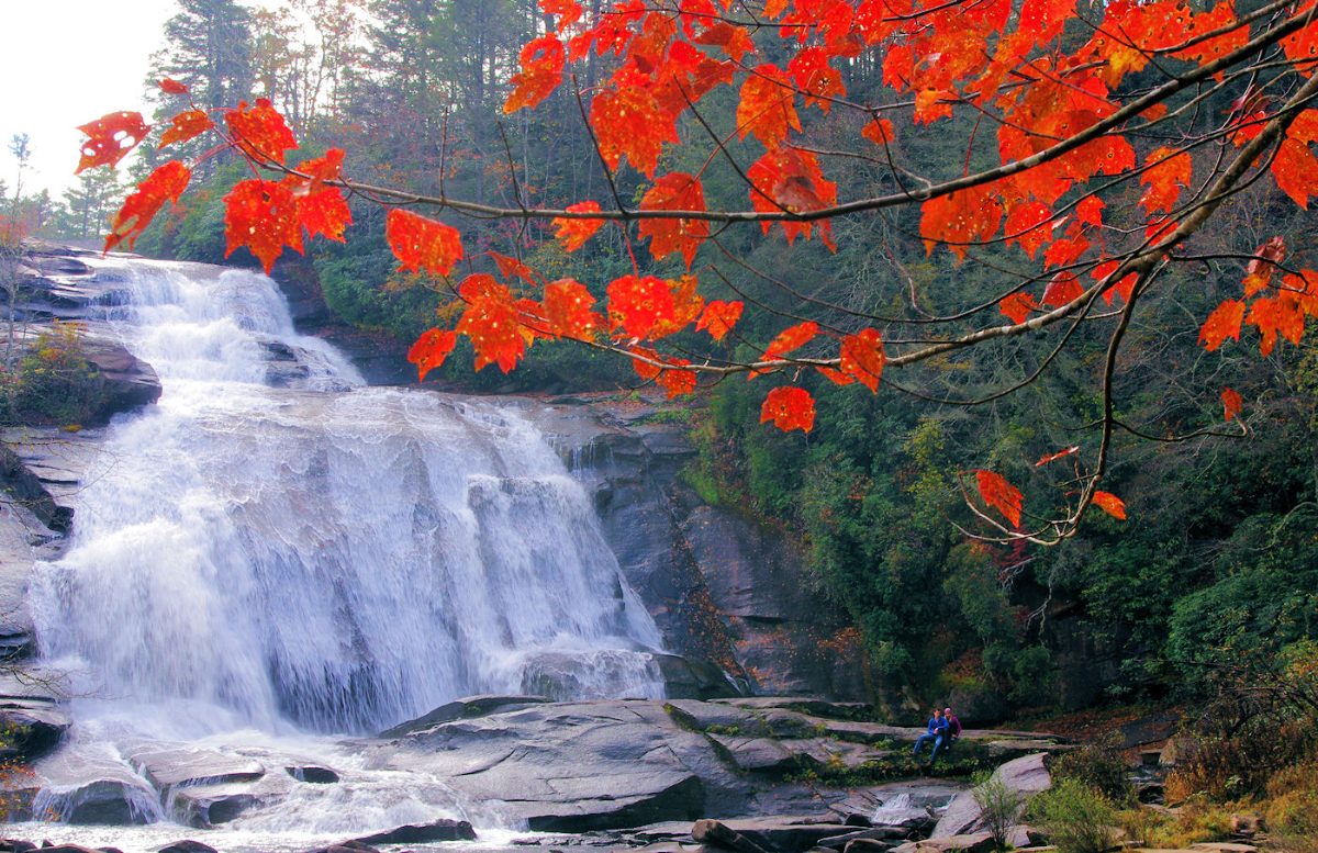
The Triple Falls Trail leads straight from the trail junction at the parking area, immediately crossing a metal footbridge over the river. Follow it 0.5 mi. to reach an overlook of scenic Triple Falls. Stay left at the trail junction to remain on the High Falls Trail.
Follow the High Falls Trail another 0.5 mi. beyond, climbing moderately, to reach an overlook of High Falls—the tallest waterfall of the three. From here, you can return the way you came, or you can continue ahead on the High Falls Trail to complete a “lollipop” loop hike, returning to the trailhead by turning right on the Triple Falls Trail and taking it back to the trailhead.
An excellent description of the three waterfalls hike in DuPont is available at RomanticAsheville.com, a partner of Conserving Carolina.
Alternative Routes: The above route is the most popular and efficient way to reach all three waterfalls, however, each of the falls may be visited individually and by any route you choose. The waterfalls do not need visited on the same day, should you wish to break this challenge up into two or more hikes. High Falls—and Triple Falls downstream—can also be accessed from the High Falls Parking Area at the DuPont Recreational State Forest Visitor Center, also off of Staton Road. Consult a DuPont Trail map to plan your hike.
About the WPA & Conserving Carolina Hiking Challenge
![]() The popular White Squirrel Hiking Challenge is back! Take the challenge and go on 8 hikes, all on lands that Conserving Carolina helped protect. If you complete all 8 hikes and you are a Conserving Carolina member, that makes you a Hiking Challenge 5 Champion. You will earn an awards package, including your white squirrel patch and a $10 gift card to Mast General Store in Hendersonville. Most importantly, you get to experience 8 great places and deepen your personal connection to land conservation.
The popular White Squirrel Hiking Challenge is back! Take the challenge and go on 8 hikes, all on lands that Conserving Carolina helped protect. If you complete all 8 hikes and you are a Conserving Carolina member, that makes you a Hiking Challenge 5 Champion. You will earn an awards package, including your white squirrel patch and a $10 gift card to Mast General Store in Hendersonville. Most importantly, you get to experience 8 great places and deepen your personal connection to land conservation.
Hiking Challenge 5 is brought to you by Witherspoon Platt + Associates (WPA)—a full service, conservation-oriented real estate brokerage connecting people with the beauty, history, and culture of Western North Carolina through both the built environment and land protection.

See All the Hikes