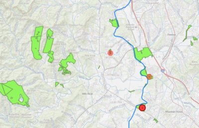
Restoring the French Broad River: A Story Map
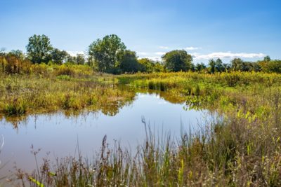
If you paddle down the French Broad River, you’ll see a landscape much different from what our predecessors witnessed. Where pools, sloughs, and wetlands once abounded, farms and developments have staked their claim. Ditches and berms have channelized the river, creating a strict, unnatural boundary between land and water. The habitats that once were have dwindled, along with their wild residents.
But we can bring back the wild vibrancy of the French Broad River. We are pleased to introduce our newly launched story map on Conserving Carolina’s restoration projects along the French Broad River!
This story map covers all of the restoration projects we’re taking on, as well as how you can join us in the effort to revive our region’s greatest river.