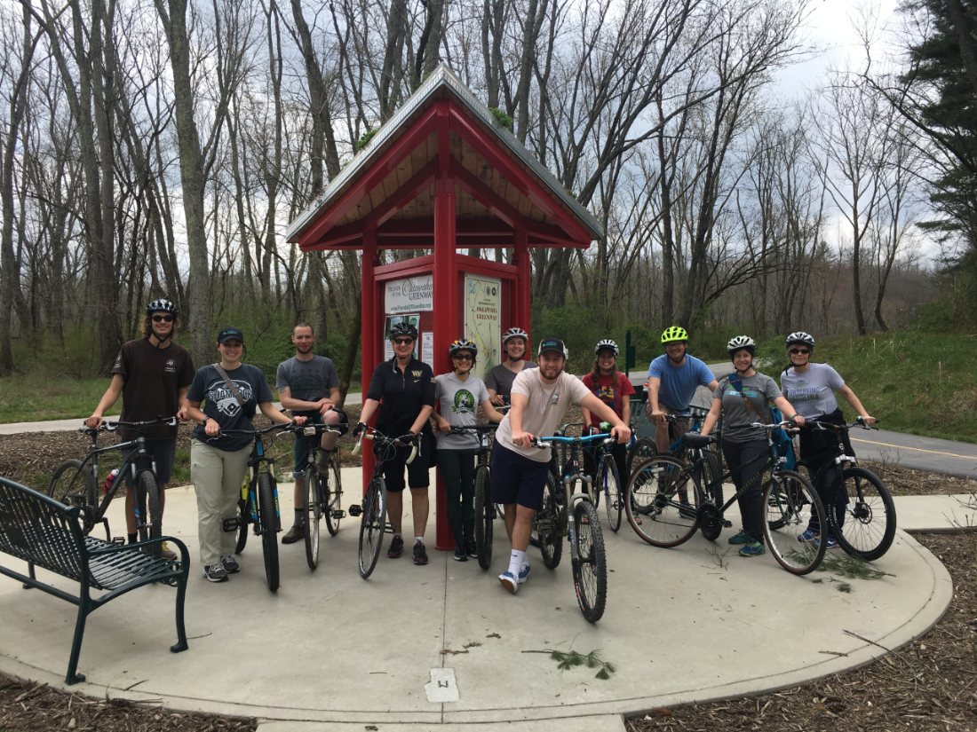
This hike is part of the WPA & Conserving Carolina White Squirrel Hiking Challenge 5. You can walk or bike this creekside path—one of numerous greenways Conserving Carolina has helped to provide for our communities.
Hiking, Biking, Birding and More
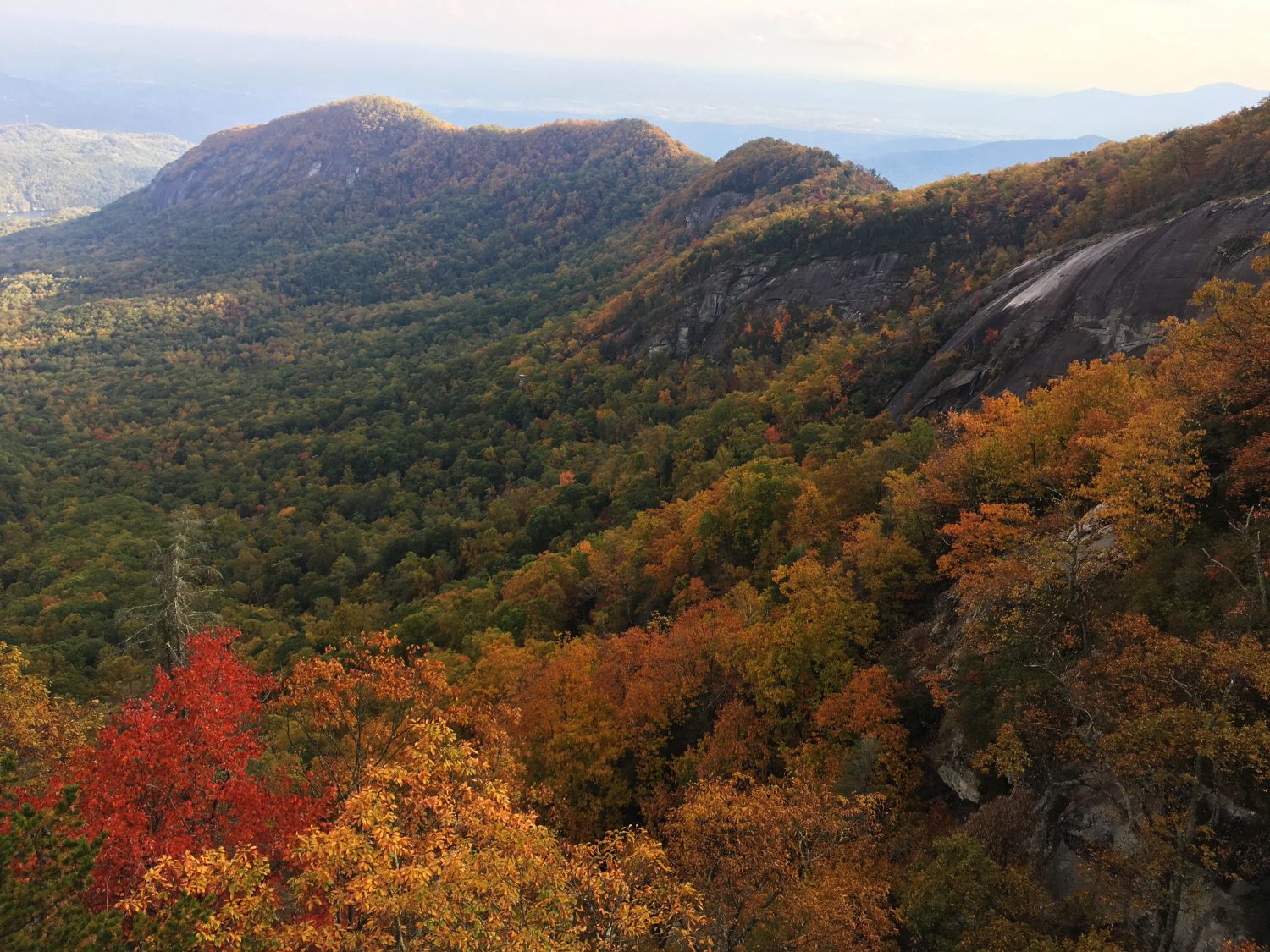
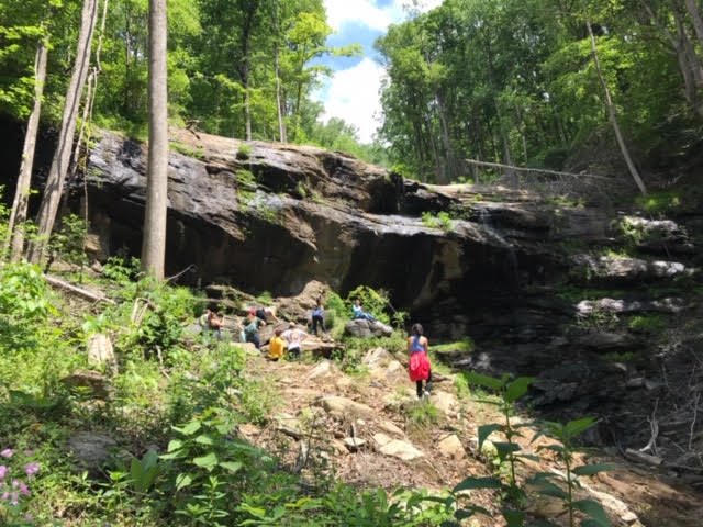
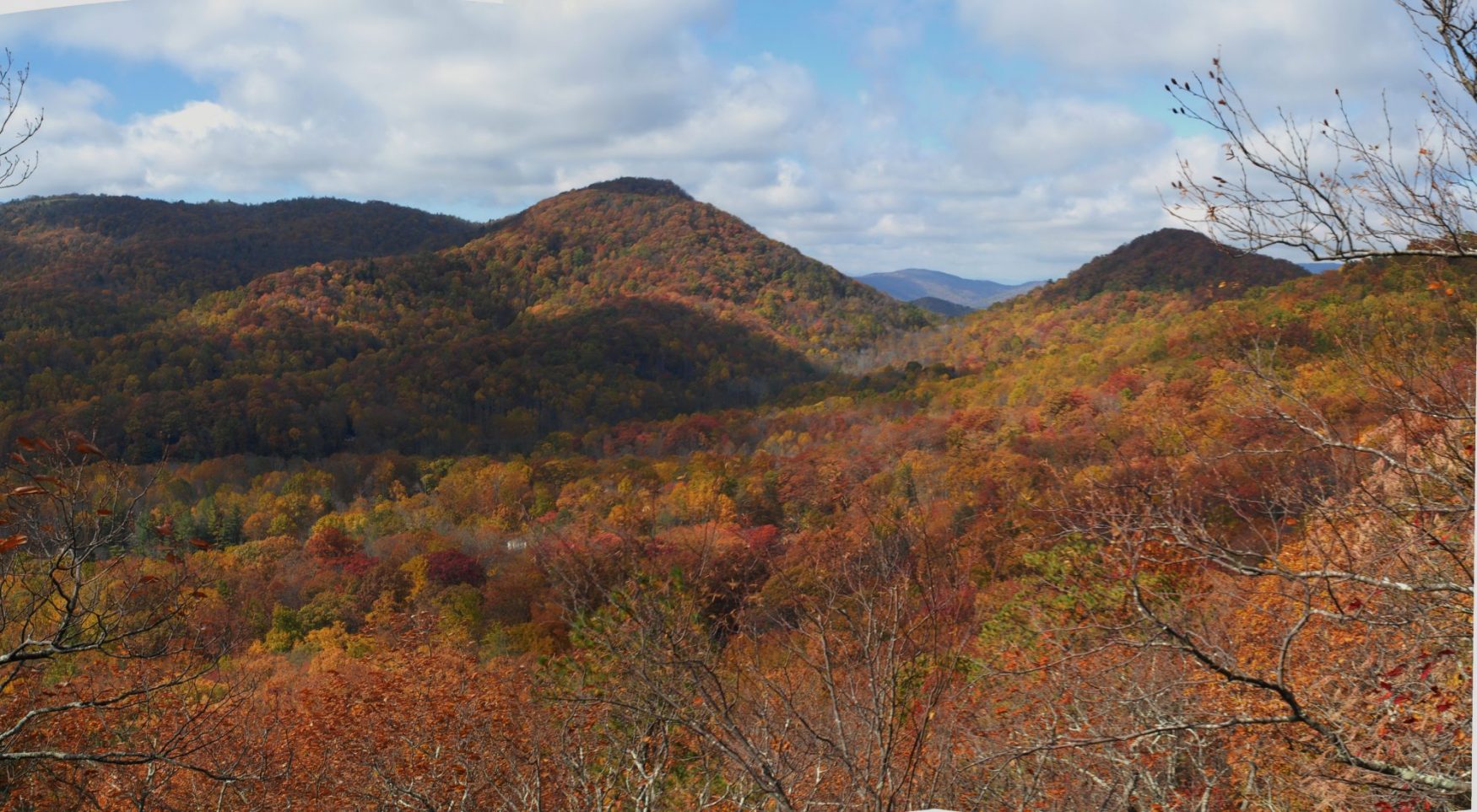
Hendersonville’s Oklawaha Greenway winds 3.5 miles through wetlands, meadows and forests to connect four community parks. It takes its name from a Cherokee word meaning “slowly moving muddy waters” because much of the greenway runs along Mud Creek, a central part of the Henderson County watershed. The Audubon Society recently named the greenway as a birding “hot spot” because of the wide variety of birds it attracts. Wildflowers, native trees and small mammals abound. The fully paved greenway is a five-minute drive from downtown Hendersonville and easily accessible from five convenient parking areas.
Conserving Carolina is a founding member of the Friends of Oklawaha Greenway, an organization that stewards the existing greenway path as well as advocates for extending its length with new greenway segments and connector routes. Greenways connect people, communities, and the natural world. The safety, mobility, economic, health, and environmental benefits of greenways are significant and serve as a vital introduction for people to experience and become comfortable in the outdoors.
CHALLENGE: Hike or bike the entire Oklawaha Greenway
Primary Route: Jackson Park to Berkeley Park
Hiking Distance: 3.5 miles one-way
Elevation Gain: 25 feet
Difficulty: Easy
Note: The Oklawaha Greenway is frequently flooded during and after wet weather. You may want to look for sunny weather as you plan your trip.
Trailhead:
The beginning and ending points of the greenway are the parking lots at Jackson Park and Berkley Mills Park. The greenway can also be accessed from William H. King Memorial Park, Patton Park, Sullivan Park
In Jackson Park, the Oklawaha Greenway is best accessed by parking in the large, hillside parking lot on the northern end of the park, where the two-story brick building housing Hola Community Arts is located. The northern terminus of the Oklawaha Greenway is at Berkeley Mills Park and can be accessed by parking near the ballfields and walking back towards Balfour Road or by parking in the dedicated parking lot next to Kimberly Clark on the other side of Balfour Road.
For more access points, see the map here on the Friends of the Oklawaha website.
Hiking Directions
The Oklawaha Greenway is a relatively flat, paved trail. The greenway is a 10-foot-wide asphalt path with mileage signs have been installed every quarter of a mile along the trail to help trail users know how far they have traveled and how much farther it is to their destination. Benches, water fountains, and three bicycle FixIt Stations are available along the trail.
To complete this challenge, you must walk or bike the entire length of the Oklawaha Greenway. The entire length of the greenway does not need to be completed within only one outing, but rather can be completed in segments using more than one trip if desired. A vehicle shuttle—by placing one at each end of the greenway or being dropped off and picked up—is also permissible, as the greenway need only be traveled in one direction to complete this challenge. An out-and-back completion of the greenway will total 7.0 miles (double the 3.5 mile length of the greenway).
While many variations or routes exist to complete this challenge, it is simplest to start at either Berkeley Park or Jackson Park which bookend the greenway, and hike or bike to the other (and back, if not using a shuttle). Side paths of the greenway (for example, those that access the main part of Patton Park, Sullivan Park, and the ballfield at Berkeley Park) do NOT need to be hiked/biked to complete this challenge. The beginning and ending points of each terminus of the greenway is the parking lots at Jackson Park and Berkeley Park.
About the WPA & Conserving Carolina Hiking Challenge
![]() The popular White Squirrel Hiking Challenge is back! Take the challenge and go on 8 hikes, all on lands that Conserving Carolina helped protect. If you complete all 8 hikes and you are a Conserving Carolina member, that makes you a Hiking Challenge 5 Champion. You will earn an awards package, including your white squirrel patch and a $10 gift card to Mast General Store in Hendersonville. Most importantly, you get to experience 8 great places and deepen your personal connection to land conservation.
The popular White Squirrel Hiking Challenge is back! Take the challenge and go on 8 hikes, all on lands that Conserving Carolina helped protect. If you complete all 8 hikes and you are a Conserving Carolina member, that makes you a Hiking Challenge 5 Champion. You will earn an awards package, including your white squirrel patch and a $10 gift card to Mast General Store in Hendersonville. Most importantly, you get to experience 8 great places and deepen your personal connection to land conservation.
Hiking Challenge 5 is brought to you by Witherspoon Platt + Associates (WPA)—a full service, conservation-oriented real estate brokerage connecting people with the beauty, history, and culture of Western North Carolina through both the built environment and land protection.
See All the Hikes