This hike is part of the WPA & Conserving Carolina White Squirrel Hiking Challenge 5. There is much to enjoy in this beautiful nature preserve as you make your way to the drip falls.
Tall Trees, Wildflowers, and Birds
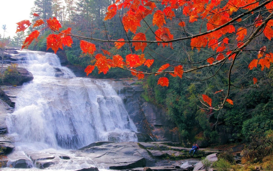
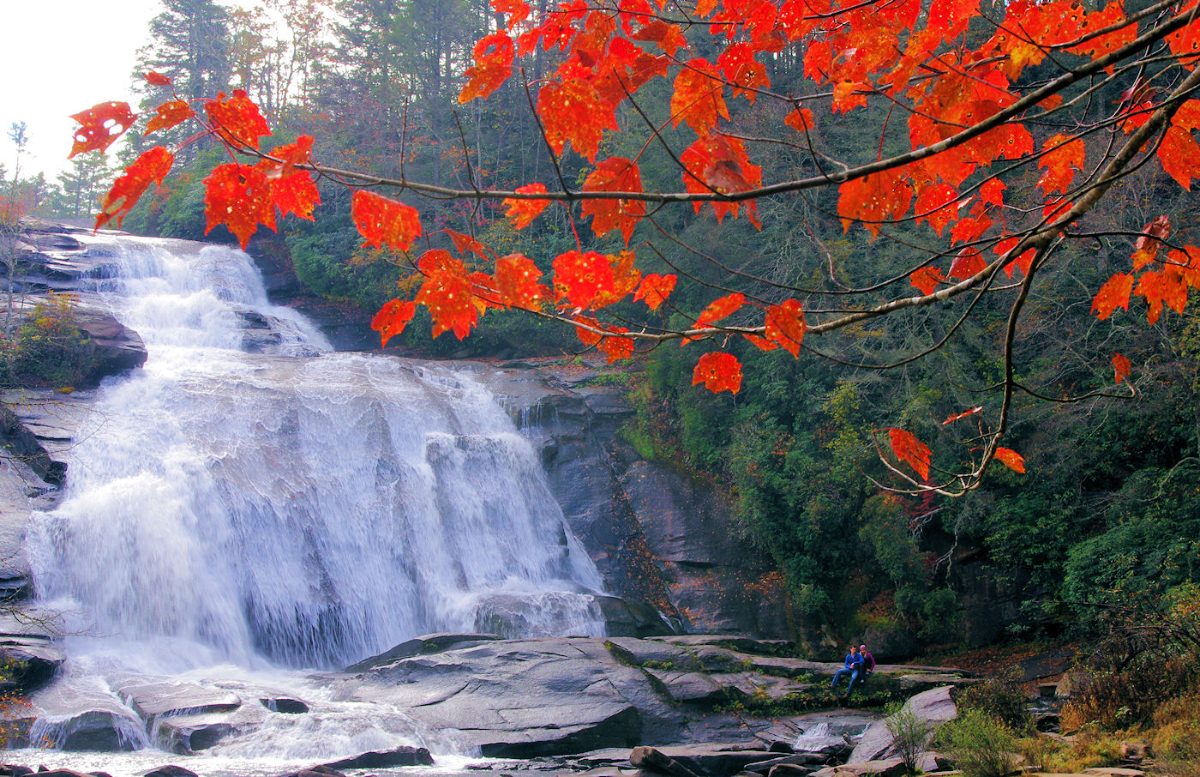
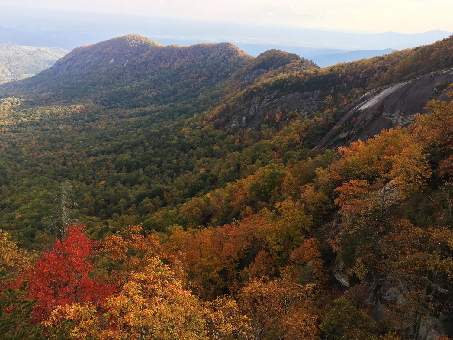
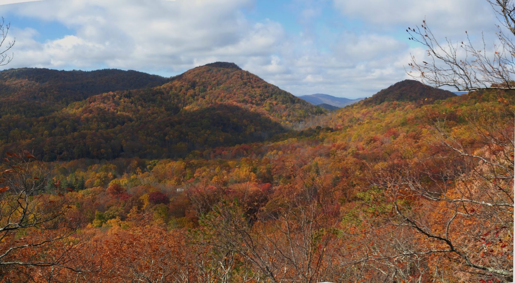
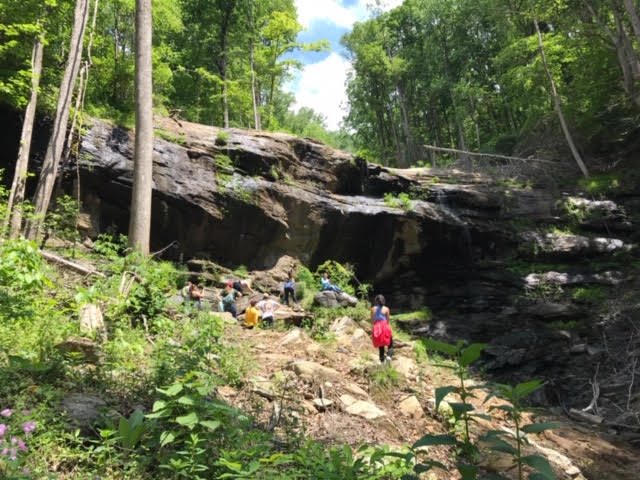
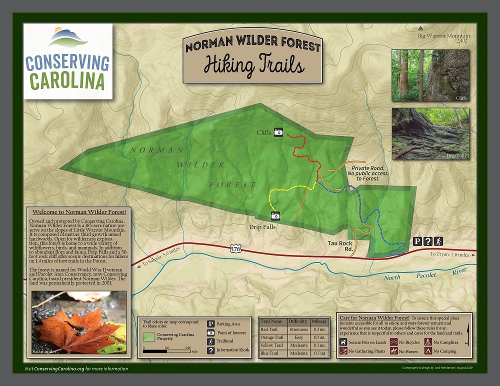
Norman Wilder Forest is a 185 acre preserve between Saluda and Tryon. As you explore the hiking trails, you’ll find yourself surrounded by mature forests with majestic, tall trees. In the spring and summer, you can enjoy exceptional displays of wildflowers. The preserve is part of the North Carolina Birding Trail and home to many species including wood warblers, thrushes, and tanagers. Beautiful mountain streams flow through on their way to the North Pacolet River. The trails take you to features including a drip falls, sheer cliffs, and a viewpoint across the river valley.
Conserving Carolina owns this nature preserve and maintains hiking trails for everyone to enjoy. We are grateful to our hardworking volunteers who saved large swaths of the forest from kudzu and rebuilt trails that were devastated by landslides in 2018.
CHALLENGE: Hike to Drip Falls in Norman Wilder Forest
Primary Route: Follow the blue trail markers, then the yellow trail markers.
Hiking Distance: 1.8 miles round-trip
Elevation Gain: 200 feet
Difficulty: Moderate
Trailhead:
Click here to enter your address and receive turn-by- turn directions to the trailhead. GPS users may enter N35.2245, W-82.2742 in their units.
Norman Wilder Forest is located on Hwy. 176 between Saluda and Tryon. Look for a sign that says “Norman Wilder Forest” in yellow lettering on a split rail fence on the north side of the road (the side opposite the river). There is a small gravel parking area at the trailhead.
Hiking Directions:
Beyond the trailhead kiosk, hike the Blue Trail as it follows an old roadbed and gently ascends two switchbacks. Pass an old structure foundation at 0.2 miles, and just beyond at 0.3 miles junction with a gravel road. Continue on the Blue Trail by turn right on the road and follow it uphill to the 0.5 mile point, where the trails leaves the road at a signed junction and follows a singletrack path on the left. Descend briefly to reach a junction with the Red and Yellow Trails at 0.6 miles. Veer left on the Yellow Trail and follow it to its end at Drip Falls and the edge of the 2017 landslide. Return the way you came.
Norman Wilder Forest Trail Map
About the WPA & Conserving Carolina Hiking Challenge
![]() The popular White Squirrel Hiking Challenge is back! Take the challenge and go on 8 hikes, all on lands that Conserving Carolina helped protect. If you complete all 8 hikes and you are a Conserving Carolina member, that makes you a Hiking Challenge 5 Champion. You will earn an awards package, including your white squirrel patch and a $10 gift card to Mast General Store in Hendersonville. Most importantly, you get to experience 8 great places and deepen your personal connection to land conservation.
The popular White Squirrel Hiking Challenge is back! Take the challenge and go on 8 hikes, all on lands that Conserving Carolina helped protect. If you complete all 8 hikes and you are a Conserving Carolina member, that makes you a Hiking Challenge 5 Champion. You will earn an awards package, including your white squirrel patch and a $10 gift card to Mast General Store in Hendersonville. Most importantly, you get to experience 8 great places and deepen your personal connection to land conservation.
Hiking Challenge 5 is brought to you by Witherspoon Platt + Associates (WPA)—a full service, conservation-oriented real estate brokerage connecting people with the beauty, history, and culture of Western North Carolina through both the built environment and land protection.

See All the Hikes